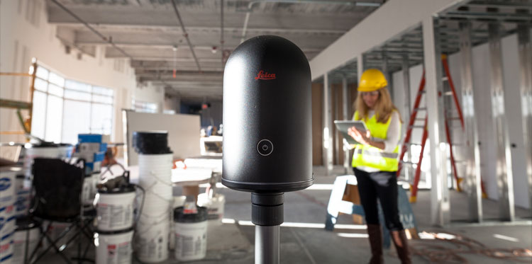
3D Laser Scanning
3D As-built Surveying
We carry out 3D as-built surveying using the latest laser scanners to serve construction, engineering and architectural projects as well as archaeological sites, building models, industrial facilities, oil & gas platforms. We deliver a highly detailed and accurate point cloud to the best of clients’ needs.
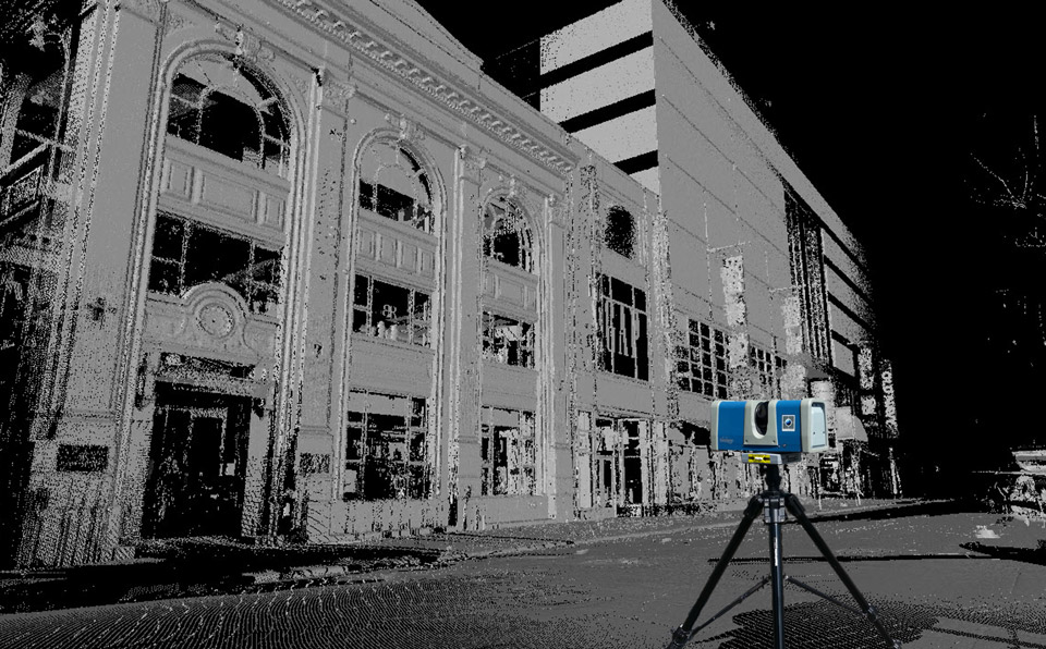
Heritage Scanning
SpatioCap provides highly accurate 3D documentation for the heritage sites. As well as 2D or 3D CAD deliverables. We can also supply a wide range of photographic or scan-based products from panoramic imagery and generation of virtual tours.
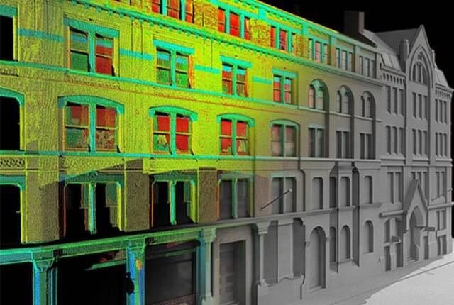
Scan to BIM
We can convert the point clouds collected by our high-end laser scanners into a BIM ready format such as Revit and ArchiCAD models. We leverage the potential of point cloud technology by integrating it with our BIM expertise. Our complete and accurate scan-to-BIM workflow enable architectural firms and projects’ design team to make informed decisions quickly.